
Wildfire risk reduction work continues west of Invermere
(Image Credit: RDEK)
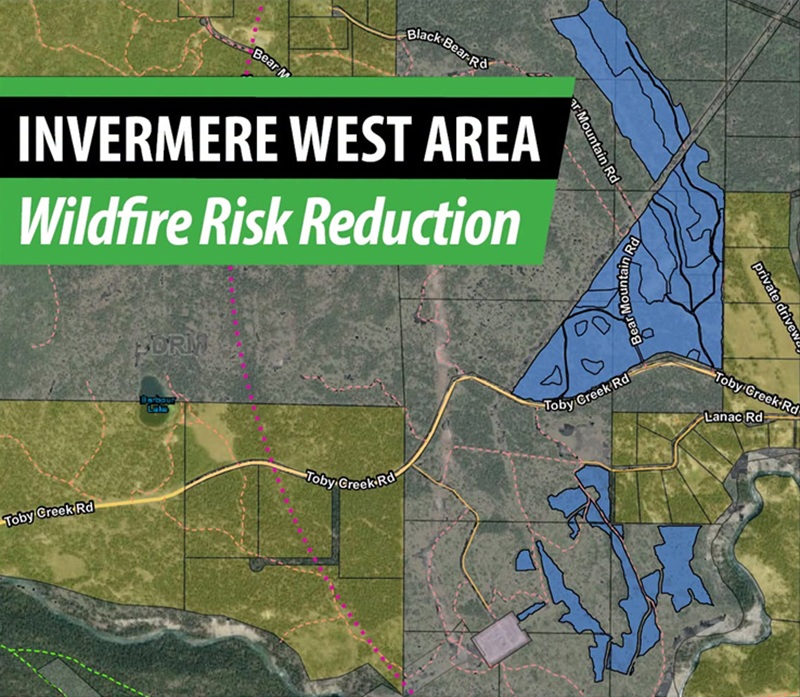
The Ministry of Forests Wildfire Risk Reduction (WRR) program will continue work west of Invermere to improve wildfire resilience. All projects are taking place on provincial public land.
Crews are carrying out mechanical thinning on 40 hectares, with completion expected in March 2027. The units sit adjacent to private land and critical infrastructure within the Wildland Urban Interface (WUI) Risk Class 1.
The treatment will remove ladder fuels while maintaining the largest-diameter trees on site.
Heavy equipment will be operating in the area, and recreational users are asked to stay clear of active work sites. Signs with contractor and contact information will be posted at the entrances to active work areas.
A map of the treatment areas is below. More information can be found here.
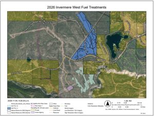
2026 Invermere West Fuel Treatment Map. (Image Credit: RDEK)
Because these are not Regional District of East Kootenay (RDEK) projects, questions should be directed to Trevor Campbell of the Rocky Mountain Resource District at Trevor.Campbell@gov.bc.ca.

Comments