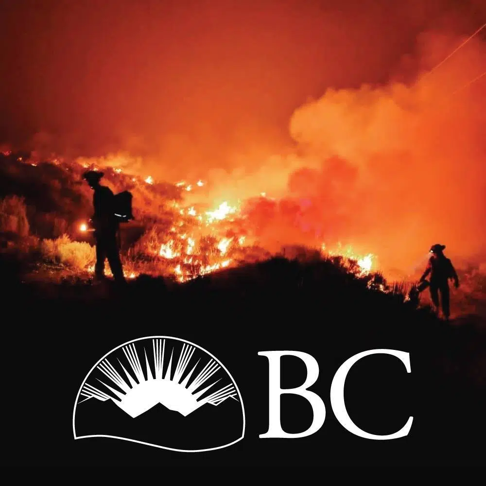
Cold front sweeping through BC could bring adverse impacts to wildfire battles

A heat wave which has brought record setting temperatures through much of BC’s interior this week is set to break down at the feet of a cold front moving through the province, and the BC Wildfire Serivce is concerned.
Predictive services superintendent Neil McLaughlin says the predicted breakdown of the ridge of high pressure which brought the heat wave could bring adverse conditions for firefighting personnel such as heavy wind gusts and dry lightning.
Environment Canada is predicting Cranbrook’s daily highs will be in the mid-to-high 20s starting Friday and through the weekend.
Find more information from the BC Wildfire Service below:
A ridge of high-pressure air currently sitting over B.C. has caused record-breaking temperatures and dry winds. These conditions have contributed to extreme fire behaviour throughout the southern Interior of B.C. in recent days.Tomorrow a dry cold front is forecast to move into the province adding instability, dry lightning strikes and strong gusting winds. In this video, Predictive Services Unit Superintendent Neal McLaughlin explains what this will mean for fire behaviour across the province in the days ahead.
Posted by BC Wildfire Service on Wednesday, August 16, 2023
– Article includes video from BC Wildfire Service

