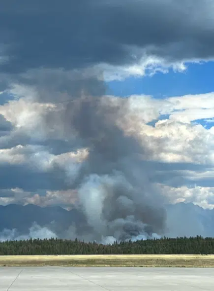
St. Mary’s River Wildfire mapped at 4,640 hectares following successful ignitions

The BC Wildfire Service says ignitions around the edge of the St. Mary’s River wildfire near ʔaq’am has resulted in the blaze being remapped at 4,640 hectares.
Local governments and the BC Wildfire Service are in the process of reviewing current Evacuation Alerts and Orders linked to the fire.
Meanwhile, no major growth to report on the other two wildfires of note in the region; the Lladner Creek fire near Sparwood is 379 hectares while the Horsethief Creek fire near Panorama remains at 1,020 hectares.
There are no changes to report with regards to any local Evacuation Orders or Alerts at this time.
View more details on local wildfires from the Regional District of East Kootenay via the BC Wildfire Service below:
REGIONAL WILDFIRE UPDATE (posted July.28 1:35 PM)Here is the wildfire round up with information from the BC Wildfire…
Posted by Regional District of East Kootenay (RDEK) on Friday, July 28, 2023

